 |  |  |
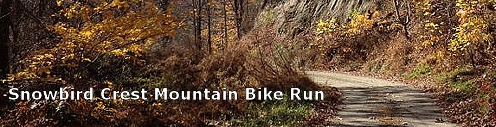
Trail ListTrail at Valley River Park Freedom Trail Tail of the Newt Motor Scooter / Bike Trail Marble Springs Outdoor Education Trail Hyatt Creek Road Stewart Road Loop Snowbird Crest Mountain Bike Run Junaluska Road to Nantahala Shores Heritage Park | Printable Trail Information
|
Slide-show of Trail
|
Trail InformationThis run is Not for the fainthearted! From Downtown Andrews, on Locust Street; cross US 74/19, proceed up paved Beaver Creek Road to the cross-roads turnaround is 12.4 miles. You may want to turnaround at the Billy Top marker that is at 7.9 miles.This mountain bike ride has steepness grades of 8-10% along this paved portion. Turn right onto USFS gravel road and after a steep climb to the 4500 foot elevation mountain range top, the road traverses the grade changes of the numerous mountains; Old Billy Top, Mattie Top, side trail markings, etc., along the crest approximately 10 miles to Porterfield Gap. You will observe wildlife, long range mountain/valley views, in an overwhelming sense of truly being in the heart of the Snowbird Mountains. Adverse weather changes should be expected, with winds and driving rains. Return is of course mostly downhill, but expect the numerous grade changes in the descent. The last part of the descent is a thrill ride back to Town. Total distance is Round trip 24.8 miles or 15.8 miles turning around at the Billy Top marker. More Information |
Website Development Unifiweb.com  |